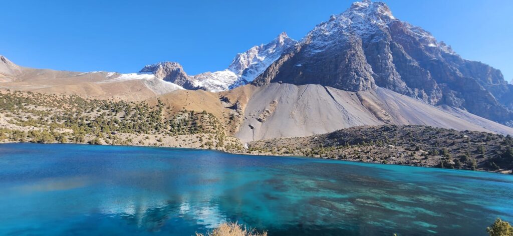
High in the Pamirs the sky is vast and the silence deep. In that silence, water is gathering. Where glaciers retreat, meltwater fills hollows: lakes that seem quiet, serene, unmoving. Yet these glacial lakes hold tension. They sit behind moraines, perched on slopes, waiting. When their dams fail, they unleash floods that are hidden hazards, sudden stories written in water.
In the Shakhdara and Gunt valleys villagers know these lakes by name- Durumkul, Rangkul, and others tucked among peaks. The names are spoken carefully, as if with respect. A herder tells of a lake that grew wider over years, creeping across ground he once crossed on foot. “It swallowed my path,” he says. The lake is quiet now, but he knows what it might do.
The slope above a glacial basin is never stable. Ice melts, rock falls, moraines shift. A moraine is built by ice and debris, loosely packed, susceptible to seepage and erosion. In warmer years, when meltwater accumulates, the pressure grows. Sometimes an avalanche or rockfall peaks into the lake, sending waves that overtop the dam. Sometimes the moraine’s interior saturates, collapses. And sometimes an earthquake or heavy rain triggers failure. When that happens, the water rushes out in a pulse- glacial lake outburst flood (GLOF). These floods roar down valleys, carrying debris, boulders, logs, mud. In 2002, the village of Dasht in the Shakhdara Valley was hit by a GLOF originating upstream (Mergili & Schneider, 2011). The flood carried debris across fields, blocked tributaries, reshaped river beds.
To stand at a lake’s margin is to sense what is held back. Ice cliffs loom, water sloshes gently, scree spills from slopes. The dam lies just behind. A void may lurk. Some years the lake expands; some years it shrinks. Patterns in seasonal inflows hint at imbalance. Glacial surveys show that some lakes in the Pamir are growing (Komatsu & Watanabe, 2013). New lakes appear as glaciers thin and recede. The map of glacial basins is changing.
These lakes are silent sentries. You do not see them rushing until they do. They hide potential energy in elevation and mass. Their quiet surface mocks the violence beneath. A breach does not always come; when it does, the flood writes across valleys in minutes what years of flow would not. Their threat is invisible until unleashed.
Hydrologists model these floods with care, but uncertainty is high. Mergili and Schneider (2011) produced a lake vulnerability map for southwestern Pamir, identifying dozens of lakes rated medium to high hazard. Their analysis used GIS and remote sensing to flag lakes whose spill paths intersect villages. Yet such models rely on assumptions of morraine strength, seepage rates and slope stability that are often unknown in remote terrain. Komatsu & Watanabe (2013) reviewed glacial hazards in Tajik Pamir, noting that knowledge of lake geometry, moraine structure, and subsurface flows is patchy.
In one valley in the Gunt basin, a lake is dammed by a rock glacier, a mixture of ice and debris creeping slowly downslope. That means its structure is more permeable than solid moraine, but also more prone to collapse under internal melt (Komatsu & Watanabe, 2013). In another basin, a hanging glacier looms above the lake, primed to drop ice or rock into the water- an avalanche trigger (Komatsu & Watanabe, 2013). The cascade begins.
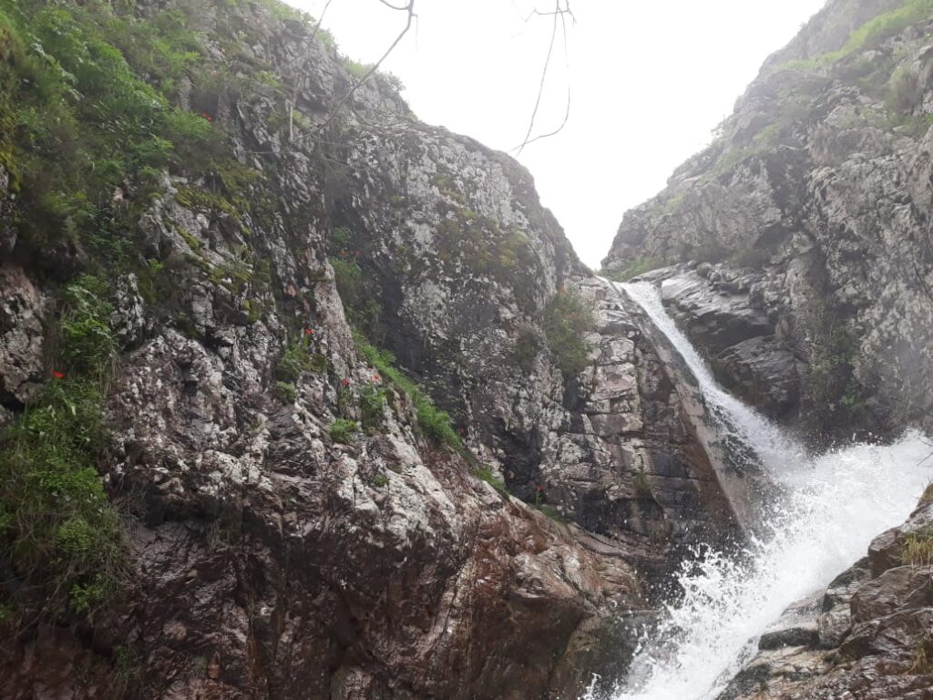
When a GLOF occurs, downstream lives are exposed. Channels fill with waves. Irrigation canals are destroyed. Bridges collapse. Sediment buries fields. In remote valleys, a flood can sever a community entirely. Some villages lie in flood path corridors mapped in hazard plans. After a flood, wood and debris mark mid-valley scars; banks gouged, trees uprooted. People speak of nights when they heard water roar before dawn, and then found their fields buried.
Beyond the immediate risk is the long shadow of alteration. Repeated floods reshape river morphology. Streams shift course. Sediment deposits raise channel beds, stiffen floodplains. Infrastructure built on floodplains becomes vulnerable. Roads and bridges must adapt or rebuild. The landscape itself changes under each flood.
Climate change magnifies the risk. Glaciers melt faster. Lakes grow larger. The frequency of intense rainfall events increases, putting pressure on moraine dams. Also, thawing permafrost weakens structures that once held slopes together. The tide of risk rises. In Central Asia glacial lake growth is widely documented (Oxford Research on natural hazards, 2017), and the Pamir is no exception.
In Tajikistan’s hazard registers, GLOF is listed as a significant threat. The national report “Tajikistan Risk Spotlight” notes that glacier lake outburst floods are among the country’s serious risks, especially under climate change (UNDRR, 2016). The state has supported early warning systems, mapping projects, and reservoir monitoring. But the terrain is vast and resources limited.
A few lakes are actively monitored. Sensors record water level changes, pressures, seepage. Field teams inspect moraine dams for cracks, leaks. Some mitigation is possible: controlled drainage, siphons, reinforcing dams, building spillways. But each intervention is expensive, tricky in remote high terrain, and hard to sustain.
Walking the valley after a storm, one sees new terraced debris, channels cut through marshy ground, grasses replaced by gravel. The memory of lakes is still in the shape of the land. That shape warns. We map these lakes not only by water area but by potential path of a break, by where villages lie, by where debris would flow.
Glacial lakes in the Pamirs are hidden floods waiting. They blend into the silence of high mountains, but they press on the land below. They demand respect and study. To live downstream is to live with something you see and something you fear and to know that the mountains hold not just ice, but potential flood.
References
- Komatsu, T., & Watanabe, T. (2013). Glacier-Related Hazards and Their Assessment in the Tajik Pamir: A Short Review. Geographical Studies, Vol. 88, No. 2.
- Mergili, M., & Schneider, J. F. (2011). Regional-scale analysis of lake outburst hazards in southwestern Pamir, Tajikistan. Natural Hazards and Earth System Sciences, 11, 1447–1462.
- UNDRR. (2016). Tajikistan Risk Spotlight.
- Oxford Research on natural hazards (2017). Glacier Retreat and Glacial Lake Outburst Floods (GLOFs).
