

-
Irrigation Heritage: Qanats and Old Systems
Beneath the sun-baked fields of Tajikistan lie the traces of another geography—one built not of asphalt and canals, but of tunnels, shafts, and whispers of flowing water. These are the qanats, or karez, ancient irrigation systems that once sustained oases and villages long before Soviet concrete channels drew straight lines across the land. In places
-
Geological Framework and Hydrocarbon Potential of the Tajik Depression
The Tajik Depression occupies a central position in southwestern Tajikistan, forming a key segment of the vast Amu Darya–Tajik basin system that stretches across parts of Uzbekistan, Afghanistan, and Turkmenistan. It represents one of the most promising yet underexplored petroleum provinces in Central Asia. The basin’s development reflects the long interaction between Tethyan oceanic closure,
-
Structural Evolution and Salt Tectonics of the Tajik Basin, Central Asia
The Tajik Basin, nestled between the Pamir Mountains to the east and the Afghan-Tien Shan ranges to the west, is one of Central Asia’s most complex sedimentary depressions. It records the ongoing convergence between the Indian and Eurasian plates, capturing millions of years of tectonic shortening, folding, and crustal thickening. Its thick Mesozoic–Cenozoic strata preserve
-
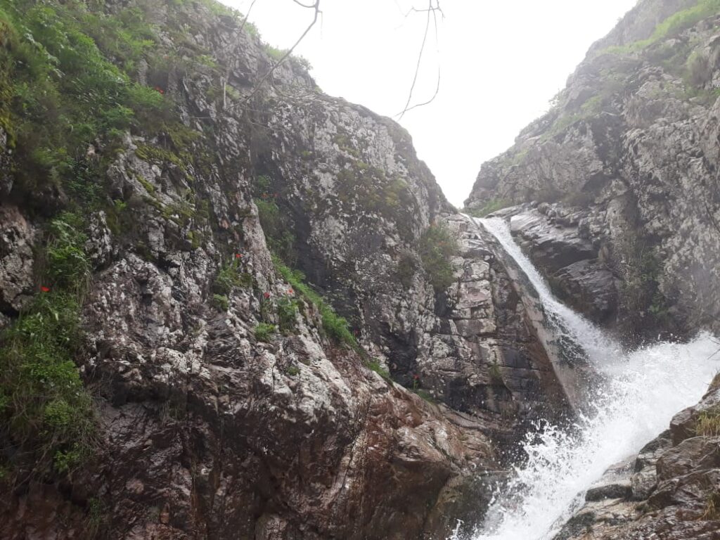
Erosion in the Vakhsh Valley: How Soil Disappears into Rivers
The Vakhsh flows swift and muddy through its gorges, carrying soil from slopes high above into its depths: a river of dust, rock, and memory. From the ridges of the Pamirs down toward the lowland plains, erosion is never distant; it breathes in every valley, slips through every side stream, and tests every patch of
-
Habitat Corridors for Snow Leopards
High above the tree line, where scree slopes fade into cloud and silence, the snow leopard still moves. In Tajikistan, these elusive cats—Panthera uncia—are more than a symbol of wilderness. They are indicators of landscape health, a measure of whether the mountains still connect. Yet even the most agile climber cannot leap across fragmentation. As
-
Wind Energy Geographies
In Tajikistan’s broad valleys, where mountain winds carve through the Gissar and Khatlon plains, air is no longer just weather—it’s becoming a resource. Long known for its rivers and hydropower, the country is beginning to rediscover a quieter force: the geography of wind. Turbines are still rare here, silhouettes against a skyline dominated by mountains
-
Spatial Patterns of Earthquakes Over a Century
The story of Tajikistan is one of movement—not only of rivers and glaciers, but of the ground itself. Beneath the vast and folded mountains, the Earth never sleeps. Every year, hundreds of tremors ripple through the Gissar, Zarafshan, and Pamir ranges, some too faint to feel, others strong enough to shift rivers, destroy villages, and
Search
Archive
- September 2025
- March 2025
- February 2025
- January 2025
- October 2024
- October 2023
- September 2023
- July 2023
- May 2023
- March 2023
- February 2023
- January 2023
- October 2022
- August 2022
- July 2022
- June 2022
- April 2022
- November 2021
- August 2021
- May 2021
- April 2021
- March 2021
- December 2020
- November 2020
- September 2020
- July 2020
- June 2020
- March 2020
- February 2020
- December 2019
- October 2019
- August 2019
- June 2019
- April 2019
- March 2019
- February 2019
- December 2018
- October 2018
- September 2018
- June 2018
- May 2018
- April 2018
- March 2018
- February 2018
- December 2017
- October 2017
- August 2017
- July 2017
- June 2017
- May 2017
- April 2017
- March 2017
- February 2017
- December 2016
- November 2016
- October 2016
- September 2016
- August 2016
- July 2016
- June 2016
- May 2016
- February 2016
Gallery


