Morning begins with a hammer tap that echoes off slate and snow. In the upper valleys of Gorno-Badakhshan, light slides down ridges, and the rocks start to talk: thin beds ringing like glass, thick ones giving a dull thud. A compass-clinometer, a dog-eared notebook, and a handful of colored pencils are the tools of the day. The Pamir Knot is not one mountain range but several stories braided together, and geological mapping is how those stories get teased apart, bed by bed, fault by fault, color by color.
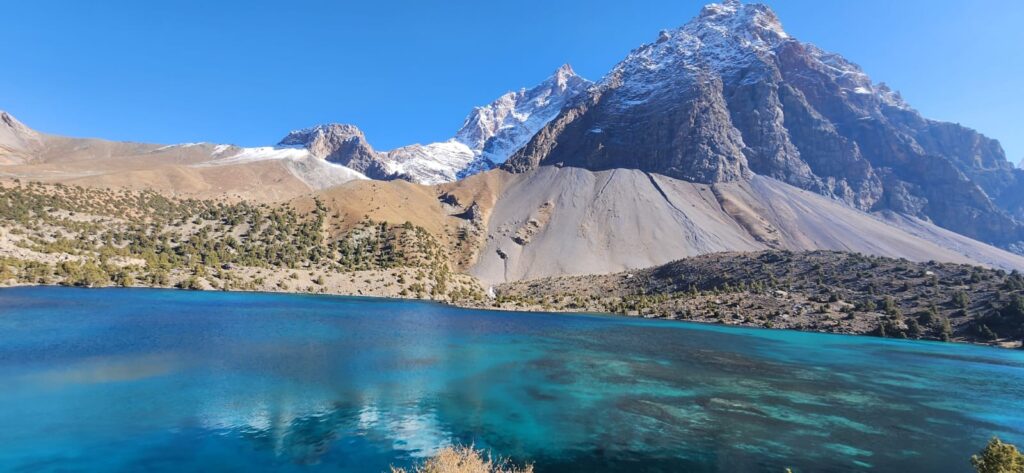
On the slopes above the Gunt, stripes you can see from the road resolve at arm’s length into alternating quartzites and slates, each bed dipping a steady thirty-five degrees to the south. A line goes on the map: strike 090, dip 35S. A few kilometers away, the stripes kink, and the pencil turns to hatch a fault. The map sheet begins to fill. If you follow that fault uphill, the rock changes character: fine-grained grey turns to sparkling gneiss with feldspar eyes, metamorphic rock that has been cooked under pressure and brought back toward the surface. In the Pamirs, that journey which would take you down, across, and back up through the crust, is written everywhere.
“Maps are the memory of rock,” a field geologist in Khorog says, blowing dust off a hand lens. He means that a good map is a ledger of observations, but also a diary of movement: where the Alps of Asia curl and collide, and where the crust itself has folded into domes and sutures. Walk south into the Shakhdara range and you meet one of those domes- gneiss and schist bulging upward in great, elongated ovals. Zircon crystals dated in labs far from these slopes say the rocks were once deep, then rose hot and fast (Stübner et al., 2013). On the paper map, the dome becomes an ellipse of oranges and reds: metamorphic units circled by younger sediments like a halo.
What looks from afar like one mountain is, under a mapper’s boots, a collage: ocean floor basalt welded to continental limestone, slivers of mantle rock caught like shrapnel in a suture, river gravels perched high above present rivers. A geological map is not a decoration; it is the operating manual of the land of where it once opened, where it broke, and how it might fail again.
The word “suture” is literal here. Along the Rushan–Pshart zone, serpentinite and greenish pillow lavas mark the seam of a vanished ocean. Pick up a rounded scrap of altered basalt and you are holding Tethys, metamorphosed. The seam runs for tens of kilometers; on the map it is a narrow belt of greens and dark blues, annotated with symbols for ultramafic rocks. In the field it is a tract of broken ground, scree that rolls under your boots, springs that taste faintly of metal. Mapping those belts is slow work, but they anchor everything: they tell you which side of the ocean you stand on, they bound terranes with different ages and biographies (Robinson, 2015).
Terranes are the grammar of the Pamirs: North, Central, and South blocks with different origins, all reorganized when India began its long collision with Eurasia. Central Pamir holds the big metamorphic domes; North Pamir leans toward platform sediments; South Pamir stacks arc rocks and deeper crustal slices. You can read the differences in the field. In Central Pamir, thin, tough marbles ring under the hammer and hold fossil ghosts; in South Pamir, volcanic fragments are cemented in gritty conglomerates; in the north, broad swaths of limestone build cliffs that hold the sun late into the evening. On paper, the colors keep them honest.
The map also makes time visible. Triassic limestones give way to Jurassic shales that give way to Cretaceous sandstones, and the key at the bottom of the sheet, ochres through blues to purple, marks that passage. Then Cenozoic strata arrive, coarse gravels laid down by young rivers racing across a rising plateau. Tilt your head, and you can see the story: old ocean closes, mountains rise, new rivers cut, fans spread. Thermochronology later puts numbers to that rise: cooling ages that say rocks moved quickly upward in the Miocene, exhumation paced like breath (Sobel & Dumitru, 1997; Robinson, 2015). But in the field, it starts with inclination and texture, with what the rock feels like under a hand.
A day mapping a dome turns into a week. At the margins you trace shear zones-bands where minerals align like combed hair, where quartz ribbons curve and feldspar porphyroclasts rotate like planets. Every few hundred meters the foliation swings a few degrees; the pencil follows, ticks leaning with the rock. A perched terrace above the current river carries rounded cobbles that do not match the bedrock beneath, a proof that the river was once higher and wider, its course later stolen by uplift. You add a light brown polygon: Quaternary terrace, T1. These notes feel small in the immensity of ridge and sky, but a map made of such smallness accumulates into something big.
Soviet geologists did this for decades with astonishing thoroughness. In Dushanbe and Tashkent there are shelves of 1:200,000 and 1:100,000 sheets, their legends thick as novels. They mapped in teams, often with pack animals and aerial photographs, and printed in saturated inks that even now refuse to fade. Those maps are still the backbone of work today, layered now with GPS points and satellite imagery, but grounded in strikes and dips scribbled long before. You can feel the continuity when your modern notebook echoes their symbols.
Modern mapping adds new eyes. Remote sensing traces lineaments invisible from the ground; InSAR picks up slow ground motion along active faults; seismic tomography sketches density at depth, revealing a thick root of crust beneath the Pamir arc (Koulakov et al., 2013). A geologic map now has a transparent stack of companions: gravity anomaly maps, crustal thickness maps, landslide density maps. But none replaces the moment a bed turns and a pencil marks it. Field truth is still the closing argument.
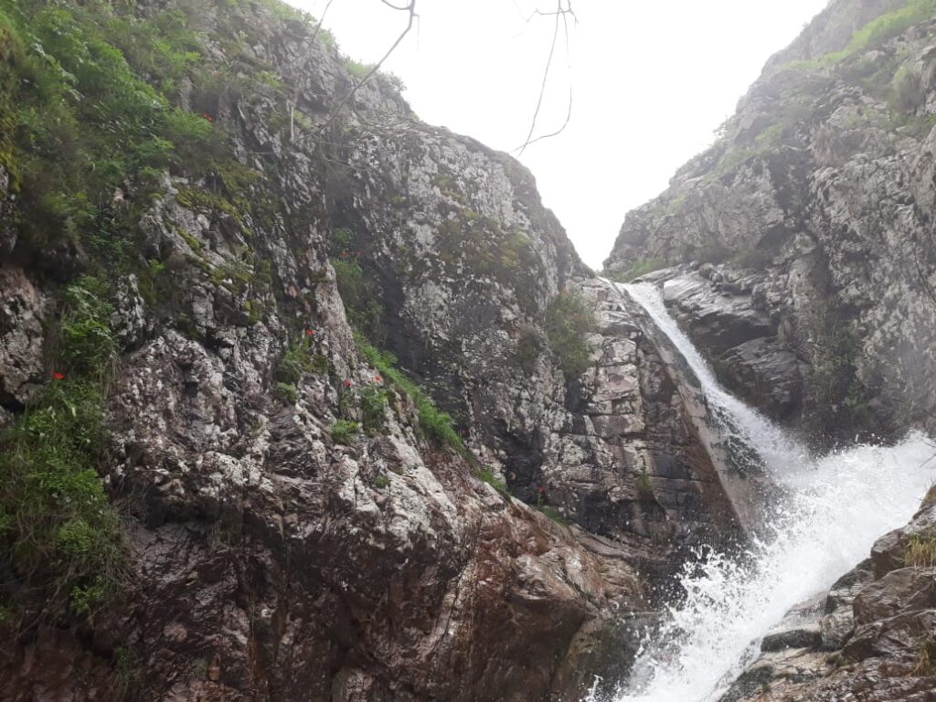
Faults make the map breathe. In the eastern Pamir, sinuous right-lateral faults slice across sedimentary and metamorphic units alike, offsets measurable with a ruler on a photo and a tape in the field (Cowgill, 2010). In the west, thrusts pile slices of crust atop one another, and cliffs of limestone ride up over folded shales. You learn to notice fault gouge, with rock smeared to clay under shear and to test a cataclasite with your boot heel. Add a bold line, triangles for thrust, arrows for strike-slip, and the sheet begins to capture not just what is where, but how it moves.
Hazards are not the subject today, but mapping refuses to forget them. A landslide scarp cuts fresh across a Quaternary fan; the fan polygon gets a hatch of red to mark instability. A fault traces toward a village; it earns a thicker symbol to warn your future self. Cracks in baked mud along the river’s edge show recent lowering; note a seasonal stage change. A geologic map is a tool for mineral explorers and tectonic theorists, but also for teachers and road planners and the person who wants to know if that new house sits on safe ground.
High on a pass, a field team eats bread and cheese on a ledge of marble veined with calcite. Below, the pattern repeats with units wrapping around domes like isobars around a pressure cell. The mapper’s pleasure is in the fit: that the measurements taken in heat and wind can knit into something coherent enough to predict the next outcrop. Turn the corner, and there it is: the contact where it should be. When it is not, the map flexes. You erase, redraw, add a question mark. Uncertainty earns its own symbol.
Back in the room, on a plywood table, acetate overlays stack up. Colored pencils sharpen. The legend grows: Ps for Permian sandstone, TRJ for Triassic–Jurassic mix, gn for gneiss, sch for schist, serp for serpentinite. A tiny star marks the spot an ammonite turned in your hand, the spiral tight as a fingerprint, proof that these rocks once slept under waves. The title block takes its place: Pamir Knot, Sheet 3, Central Pamir, 1:100,000. Across the bottom margin, a scale bar reminds you that each millimeter is a hundred meters of talus and sweat.
What the finished sheet holds is both narrative and prognosis. It tells how an ocean closed and a plateau rose, how domes ballooned and sutures stitched a continent together. It also hints at where slopes might go, where water might gather, where resources might hide. The Pamir Knot does not unlock; it yields to patience. Geological mapping is that patience given form.
At dusk, the mountains turn the color of iron. A last note goes in the margin: “gneiss mylonite band, mica lineation 120/20.” Tomorrow’s plan is a ridge farther east where the contact is uncertain and the legend has a blank line waiting. Paper creases, the lamp goes out, and the day’s colors such as blue for limestone, sienna for sandstone, carmine for gneiss, they all fade to memory until the rocks begin to talk again in the morning.
References
- Cowgill, E. (2010). Cenozoic right-slip faulting along the eastern Pamir. Geological Society of America Bulletin, 122(1–2), 145–161.
- Koulakov, I., et al. (2013). Crustal and upper-mantle structure beneath the Pamir–Hindu Kush from seismic tomography. Journal of Geophysical Research: Solid Earth, 118(1), 1–15.
- Robinson, A. C. (2015). Geologic evolution of the Pamir. Annual Review of Earth and Planetary Sciences, 43, 45–69.
- Sobel, E. R., & Dumitru, T. A. (1997). Exhumation of the western Kunlun and Altyn Tagh terranes from apatite fission-track thermochronology. Geological Society of America Bulletin, 109(7), 871–884.
- Stübner, K., Ratschbacher, L., et al. (2013). The Shakhdara–Alichur gneiss domes of the Pamir: Exhumation of deep crustal rocks during India–Asia collision. Tectonics, 32(5), 1–25.
