At the top of a mountain pass, the air thins until every breath feels like effort. The road unwinds beneath you in tight, improbable switchbacks, carved into slopes where rivers tumble a thousand meters below. Trucks grow small like toys on the hairpins. A prayer flag flutters against stone. There is a moment of silence when the engine cuts and all that remains is wind, snowmelt, and the knowledge that a single narrow road connects entire valleys.
In Tajikistan, passes are more than thresholds. They are points where geography asserts itself most forcefully: where topography dictates movement, weather governs opportunity, and human ingenuity works just hard enough to make traversing the impossible possible. A pass is at once a corridor and a constraint, a place where connection is earned through altitude.
Tajikistan is one of the most mountainous countries in the world, with more than half of its territory lying above 3,000 meters. The Pamirs, Gissar, and Alay ranges intersect like crumpled sheets of paper, forming a terrain of steep gradients and folded valleys. Historically, these mountains were not obstacles to be avoided but structures to be navigated, routes traced through them like careful stitches. Roads follow passes because passes are where the mountains relent, if only slightly.
Mountain passes are geographic hinges. They compress the human experience of landscape into narrow spaces where geology, weather, and culture meet. The road over a pass is rarely just transportation infrastructure; it is a spatial decision made against gravity, erosion, and snow.
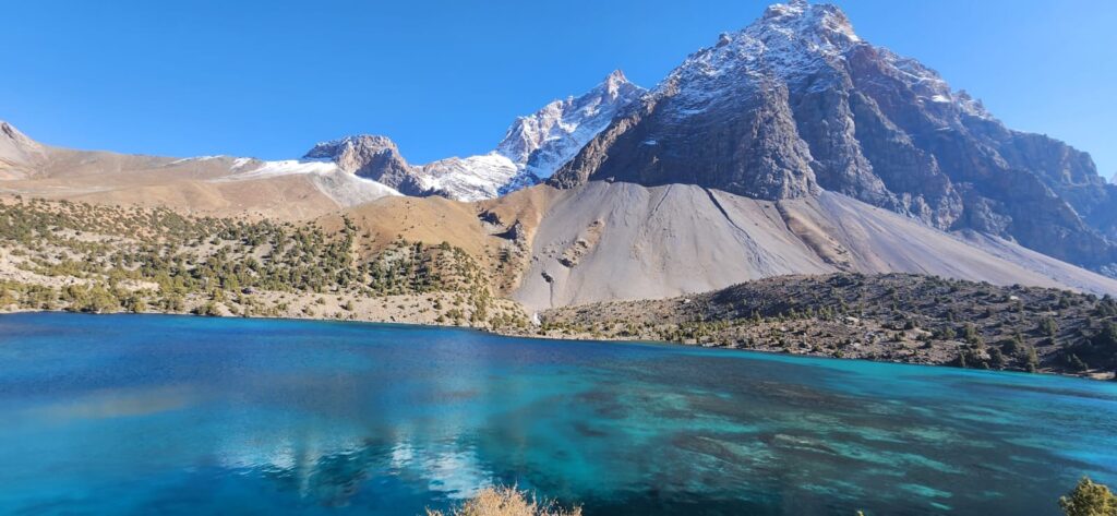
The most famous of these is Ak-Baital Pass, the “White Horse” at 4,655 meters on the Pamir Highway. Here, the road crosses a high plateau surrounded by peaks that remain snow-capped well into summer. Soviet engineers built this section in the 1930s to link Murghab to Khorog, but long before the asphalt, traders and herders moved through the same corridor following seasonal melt cycles. Even today, the pass closes unpredictably in winter storms, sometimes trapping trucks for days at the nearest roadside shelter.
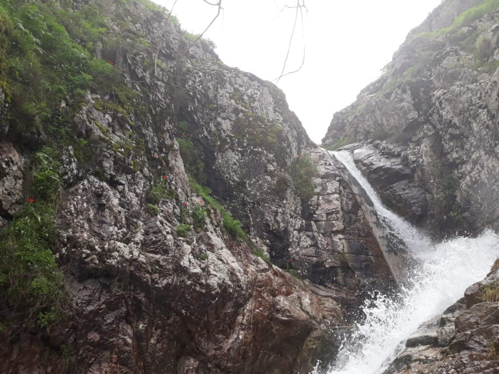
Elsewhere, Khaburabot Pass connects central Tajikistan to the eastern highlands through a sinuous road that climbs along the Obikhingou valley. Each switchback negotiates landslide-prone slopes where geology is restless: young folded sediments, fractured schists, and steep talus fans that slide after heavy rains. Drivers know these bends intimately. “You don’t fight the mountain here,” one truck driver told me, leaning on his steering wheel. “You wait for the right day, the right hour, then you go.” His words capture what maps cannot: the temporal dimension of crossing.
Seasonality defines connectivity through passes. Snow closes high routes for months, reshaping mobility calendars. In late spring, when meltwater surges through gullies, roads become rivers, and some passes are navigable only for a few hours each day before afternoon runoff swells. In autumn, frost returns early at higher elevations, glazing asphalt with invisible ice. Each season creates its own geography of movement. The same pass that is a bustling artery in July can become impassable isolation by November (Hughes, 2015).
Passes also influence cultural geographies. Many traditional transhumance routes, such as the seasonal migrations of livestock between valley pastures and alpine meadows, follow passes that have been used for centuries. Shepherds in the Gissar Range still move herds along high saddles at predictable times, using both physical landmarks and oral calendars to decide when to cross. One elder from Sangvor recalled, “When the snowline reaches the junipers, we know it is time. The mountains tell us more than the clock.” Such knowledge encodes generations of careful observation of snowpack, melt rates, and plant phenology.
In this way, passes are not only transportation corridors but ecological markers. The line where one crosses a pass often corresponds to shifts in vegetation zones, from juniper forests and shrublands to alpine tundra and bare rock. These transitions are abrupt: step over the crest of Ak-Baital, and the landscape changes from grassy slopes to cold desert plateaus within minutes. These shifts shape both human practices and biodiversity patterns. For migratory species, passes act as funnels or barriers depending on snow cover; for people, they are thresholds between ecological worlds.
Modern road-building in the 20th century followed older pathways but also reshaped them. Soviet engineers blasted rock faces, constructed retaining walls, and laid asphalt on routes that had once been footpaths or caravan tracks. This infrastructure made year-round transport possible in some corridors, linking remote valleys to administrative and economic centers. But it also concentrated mobility along fewer, more stable routes, sometimes bypassing smaller seasonal tracks that communities had used for generations (Bliss, 2006). The geography of connectivity was simultaneously expanded and narrowed.
The materiality of passes remains fragile. Rockfalls, triggered by freeze–thaw cycles, are common along steep approaches. Glacial melt in summer can undercut roadbeds near passes where streams descend from hanging valleys. Landslides and avalanches remain constant threats in places like the Khaburabot ascent. Maintenance teams often have to clear debris repeatedly during spring melt seasons. A bulldozer stationed near a pass is not a symbol of power but of persistent negotiation with terrain.
Quotes from drivers and herders often reveal these geographies more vividly than topographic maps. A herder from the Bartang valley once described a small, unnamed pass he crossed each summer: “There is one place where the snow hides the path until July. We walk by the shape of the wind.” A minibus driver on the GBAO route put it more bluntly: “You respect the pass, or it kills your engine first and you second.” Their words are pragmatic, born from lived experience in landscapes that demand precision.
These roads and passes also structure economic geographies. Trade flows depend on seasonal passability. When Khaburabot opens, fruits and grains from western Tajikistan flow eastward; wool and livestock move the other way. When it closes, goods take longer detours or wait in warehouses. Seasonal price fluctuations in remote markets often mirror pass opening schedules rather than abstract economic cycles. In places like Murghab, transportation costs and delays shape everything from flour prices to availability of spare parts.
For isolated valleys, passes act as both gateways and filters. They control who and what enters, and when. Anthropologists working in GBAO have noted how communities organize social events, migrations, and even weddings around predictable pass opening times (Mostowlansky, 2014). A road closure doesn’t just delay goods; it alters social calendars, sometimes stranding relatives on opposite sides of a mountain for months.
From a physical geography standpoint, passes are products of tectonics, climate, and erosion. Most major Tajik passes align with structural weaknesses- fault zones, synclinal saddles, or eroded valleys carved along soft lithologies. Over time, glaciers have deepened some of these corridors, while rivers and freeze–thaw weathering further shaped the saddle topography (Shroder & Bishop, 2010). What appears as a “natural route” is often the cumulative result of millions of years of geologic work.
Even in the age of digital navigation, local knowledge remains crucial. GPS might show a line over a pass, but it cannot predict when late snow will collapse a cornice or when meltwater will surge. Drivers consult each other constantly through informal networks. “Before I go over Shurabad, I call the truckers,” one driver explained. “They know if the road is alive or dead.” The metaphor of roads as living entities, captures how deeply geography inflects everyday decisions.
In winter, when the high passes close and silence settles over the plateaus, the memory of those routes remains. Footpaths might still carry shepherds or hunters, but wheeled transport stops. These seasonal rhythms have always existed, but modern economies now hinge on them more tightly. Weather forecasts, road reports, and satellite imagery are layered atop oral knowledge, but the fundamental reality hasn’t changed: the mountain decides.
At dusk, at the top of a pass, frost starts to form on the windscreen and clouds gather along the ridges. The road bends downward, into another valley with another river, another set of human stories. Passes are never endpoints, they are transitions, both geographic and human.
References
- Bliss, F. (2006). Social and Economic Change in the Pamirs (Gorno-Badakhshan, Tajikistan). Routledge.
- Hughes, G. (2015). The seasonal dynamics of high-mountain road networks. Mountain Research and Development, 35(4), 310–322.
- Mostowlansky, T. (2014). Roads, remoteness and connectivity: The case of the Pamir Highway. Central Asian Survey, 33(3), 280–296.
- Shroder, J. F., & Bishop, M. P. (2010). Geoinformatics for Geosciences: Applications to the Himalaya. Elsevier.


