The Pamir Highway begins in whispers. Asphalt emerges from Dushanbe’s dense urban fabric and slowly winds into hills, climbing toward the high plateaus like a ribbon laid across the bones of the Earth. Officially known as the M41, this road is one of the world’s highest international highways, crossing passes over 4,000 meters as it links Tajikistan’s interior with Kyrgyzstan and Afghanistan. But it is more than infrastructure: it is a geographic thread stitching together isolated valleys, fragile ecosystems, and human communities that have long lived at the margins of accessibility. The Pamir Highway is at once a lifeline and a fault line, enabling movement while tracing the tectonic and climatic forces that define the region.
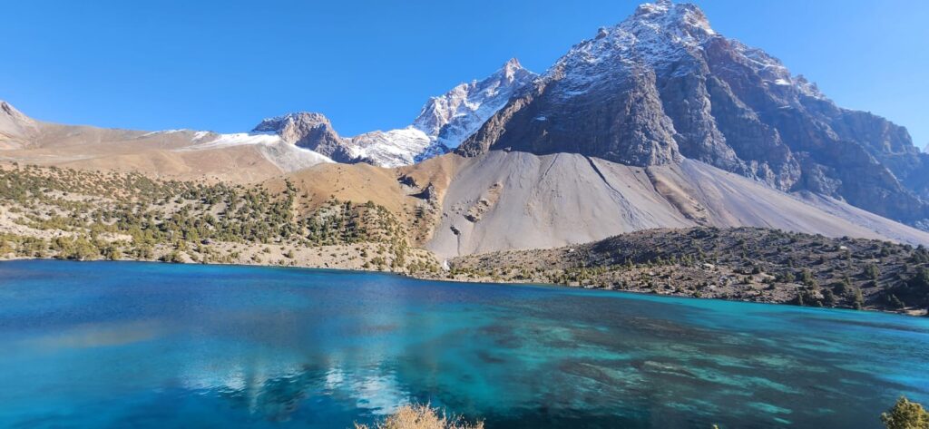
The road’s geography is inseparable from the Pamirs themselves. Formed by the collision of the Indian and Eurasian plates, the Pamir Mountains rise sharply, a knot of uplifted crust that has produced deep valleys, high passes, and some of Central Asia’s most dramatic landscapes. The highway follows these natural corridors: river valleys where slopes are gentler, passes where glaciers have carved accessible saddles, and plateaus where travel is possible at high elevation. Its route reflects centuries of local knowledge, of ancient paths followed by traders and herders- all modernized through Soviet engineering in the 1930s to connect Gorno-Badakhshan with the rest of Tajikistan (Bliss, 2006).
To travel the Pamir Highway is to follow the contours of both mountains and history. The road adapts to terrain shaped by tectonics and glaciers, and in turn, it shapes patterns of life and movement along its course.
The M41 climbs eastward from Dushanbe through the Varzob Gorge, tracing the river’s path until it reaches the Rasht Valley. From there, it winds into the high mountains, crossing the 3,252-meter Khaburabot Pass or looping south along the Panj River- a natural border with Afghanistan. At Kalai-Khumb, the highway follows the Panj upstream, a narrow strip carved between sheer cliffs and turbulent water. Here, road and river compete for space; landslides frequently block the route, and spring floods gnaw at the road’s edge. Beyond Rushan, the road splits: one branch climbs toward Khorog and the high-altitude Murghab Plateau, the other leads into side valleys feeding remote communities. Each segment responds to the physical constraints of the landscape, adapting to elevation, slope stability, and river dynamics.
Landslides are constant companions on the highway. The Pamirs lie in a seismically active zone, and steep, fractured slopes shed material during heavy rains, snowmelt, or earthquakes. Soviet engineers designed retaining walls and culverts, but many structures have deteriorated over decades. “Sometimes the mountain just decides to take the road back,” remarked a driver near Rushan, pointing to a fresh scar where boulders had tumbled across the asphalt. These hazards are not isolated events, they are part of the ongoing geological processes that built the mountains. The road must be continually rebuilt, its existence negotiated season by season with the forces of gravity and water.
The Pamir Highway is a lifeline precisely because it passes through landscapes that are dynamic and often dangerous. Geography gives the road its purpose, but it also sets its limits.
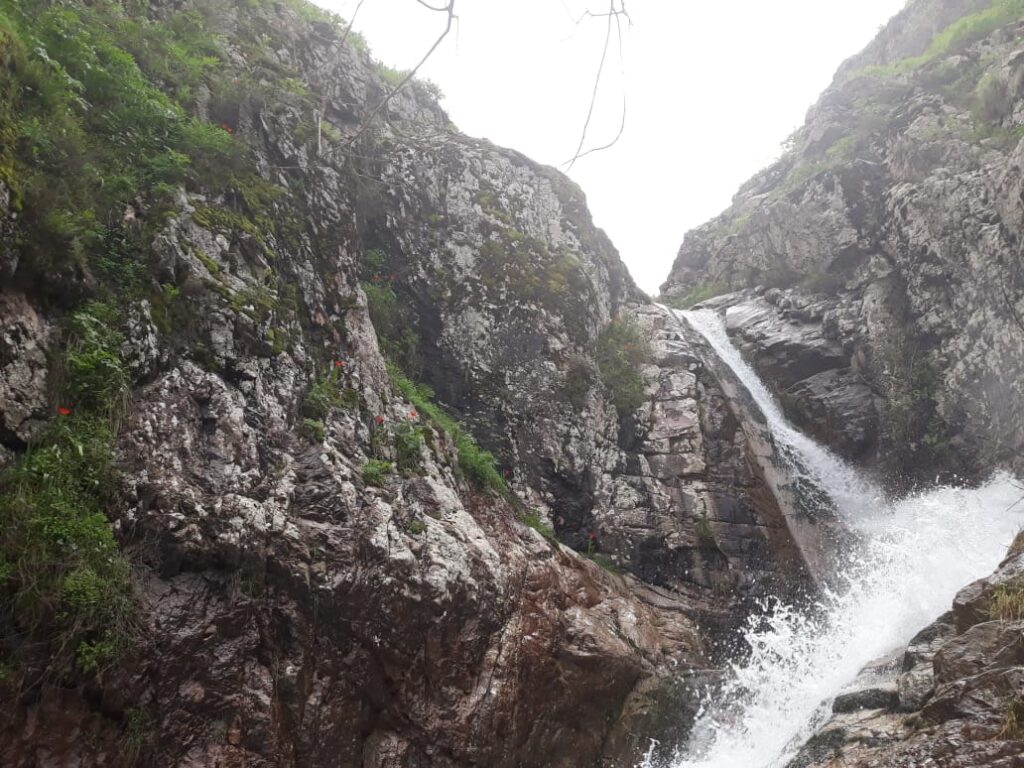
Hydrology shapes the road’s fate as much as tectonics. Spring snowmelt swells rivers, undermining embankments and washing out bridges. The Panj River, fed by glaciers and snowfields, reaches its peak discharge in early summer. At narrow gorge sections, road builders have had to carve niches into cliffs, leaving little room for error when floods arrive (Hergarten et al., 2014). In winter, avalanches sweep across high passes, cutting off traffic for weeks. Murghab, at over 3,600 meters, can be isolated by snowstorms that close the Ak-Baital Pass- the highest point on the highway at 4,655 meters. These seasonal patterns are predictable but increasingly variable as climate shifts alter melt regimes and precipitation patterns.
The highway’s presence also shapes human geography. Settlements cluster along the road where access to markets, medical facilities, and schools becomes possible. For many villages, especially in Gorno-Badakhshan, the highway represents the only reliable link to the outside world. Goods arrive, people travel, and ideas circulate along this asphalt thread. Yet the same road introduces new vulnerabilities. Dependence on a single route means that landslides, floods, or political closures can sever lifelines abruptly. In 2015, for example, a major landslide near Barsem temporarily blocked access to Khorog, disrupting supply chains and isolating communities (Hewitt, 2016).
Ecologically, the road has mixed impacts. It facilitates resource extraction and tourism, increasing human pressure on sensitive high-altitude environments. At the same time, it allows conservation workers, scientists, and local communities to access remote areas more easily. Wildlife movement can be affected where road cuts fragment habitat, especially along narrow valleys. In some places, herders note changes in migration patterns of ungulates as traffic has increased during summer tourist seasons. Roads are not neutral, they reorganize landscapes by channeling movement along fixed paths.
Quoting a geographer who worked on infrastructure surveys in the Pamirs: “The highway is both a tool and a trace. It shows where people have learned to move through these mountains, and it leaves new marks that future generations will inherit. The land is not passive in this relationship; it pushes back, literally, with landslides and floods.”
Standing at a high pass overlooking the Murghab Plateau, the view captures the essence of the Pamir Highway: a thin gray line stretching across vast open terrain, dwarfed by peaks and sky. Trucks crawl slowly upward, their engines straining in the thin air. This is a road that exists in dialogue with its environment, shaped by the same forces that shape rivers, glaciers, and valleys. Its maintenance is a continual negotiation between human intention and mountain dynamics.
References
- Bliss, F. (2006). Social and economic change in the Pamirs (Gorno-Badakhshan, Tajikistan). Routledge.
- Hergarten, S., Robl, J., & Stüwe, K. (2014). Tectonic geomorphology of the Pamir Mountains. Tectonophysics, 626, 37–49.
- Hewitt, K. (2016). Glacier hazards and disaster management in the Karakoram Himalaya. Mountain Research and Development, 36(4), 399–409.


