The lowlands of Khatlon stretch wide and flat beneath a hard summer sky. Irrigation canals run like veins across fields of cotton and wheat, pulling water from distant rivers to sustain a landscape that depends on every drop. The sun beats down, hot winds rise from the Afghan plain, and the horizon shimmers. In dry years, these fields reveal their fragility. Drought here is not only an absence of rain; it is the slow tightening of multiple geographic pressures acting together.
Khatlon Province, in southwestern Tajikistan, lies in the lower reaches of the Vakhsh and Panj river systems. Its climate is semi-arid, with most precipitation falling in winter and early spring, leaving long, hot summers that require sustained irrigation for agriculture. Historically, these lowlands were shaped by large alluvial fans spreading out from mountain rivers, creating deep, fertile soils that encouraged extensive cultivation. During the Soviet period, these soils were turned toward industrial agriculture, particularly cotton, supported by massive irrigation infrastructure. Channels, pumps, and diversion structures allowed fields to flourish even when rainfall was scarce. But this system depends on stable water flows from upstream sources- glacial melt, snowpack, and mountain rivers that respond to climate variability in ways that are now increasingly unpredictable.
Farmers describe drought not as a single event but as a gradual shift. Irrigation canals run lower than expected in early summer; pumping stations fail more often; planting schedules slip. “The canal tells us first,” said a farmer near Bokhtar. “When its level drops in June, we know the fields will suffer by August.” This observation reflects the interdependence between climate patterns far upstream and local agricultural calendars. Snowpack anomalies in the Pamirs can translate months later into water shortages on the lowlands. A warm spring that accelerates melt may cause early surges followed by reduced summer flows. Delayed snowmelt can mean temporary shortages in late planting season. Each variation affects canal operations, crop growth, and ultimately livelihoods.
Drought in Khatlon is less about dramatic failure than about cumulative stress. Fields receive a little less water each week; canals silt up faster; pumps break down under heavier loads; soils harden and crack. By the time the impacts become visible, the underlying hydrological imbalance has been building for months.
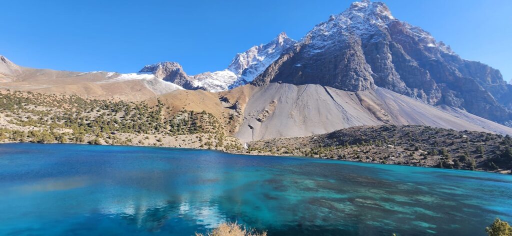
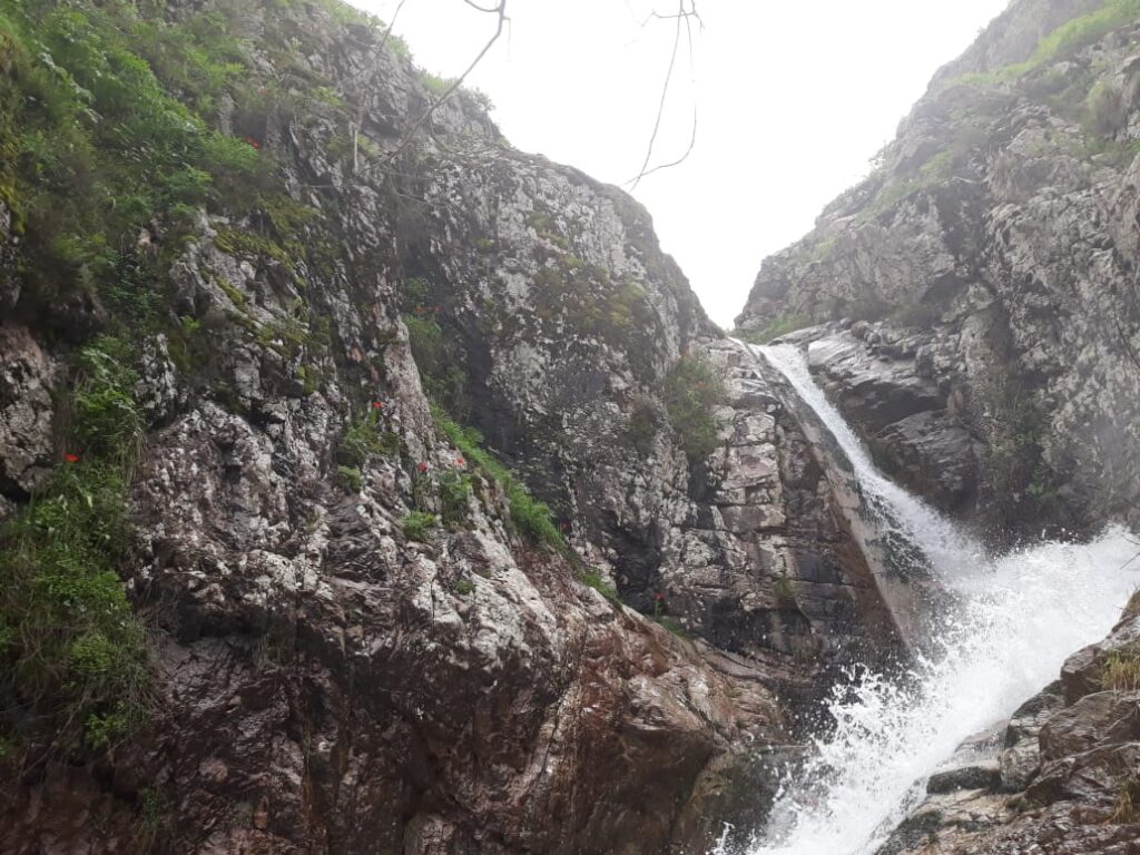
Geographically, the province sits at the receiving end of several interacting systems: the hydrology of the Vakhsh and Panj rivers, the climate of the western Pamirs and Alay ranges, and the irrigation networks constructed over the past century. This position makes it vulnerable to both climatic variability and infrastructural fragility. During the Soviet era, abundant upstream water, centralized management, and extensive maintenance masked many of these vulnerabilities. After independence, as maintenance declined and climate patterns shifted, those underlying dependencies became more visible.
The soils of Khatlon, rich but sensitive, respond quickly to irrigation fluctuations. Long fallow periods are rare; continuous cultivation, often of cotton, leaves soils compacted and less able to retain moisture. Salinization is a persistent problem, caused by high evaporation rates and inefficient drainage. Drought exacerbates this process. When less water flows through the system, salts accumulate in the root zone, stressing crops further. In some fields, white crusts appear on the surface by mid-summer, marking places where irrigation has failed to flush salts downward. Farmers respond by shifting crops, delaying sowing, or abandoning patches entirely, but these are coping mechanisms rather than solutions.
Canals, many of which were built decades ago, leak and silt heavily. In drought years, water losses through seepage and evaporation can exceed the shortfall caused by reduced river flows. Maintenance is often local and improvised: communities clear weeds, patch breaches with earth, or install makeshift siphons to divert trickles to their fields. Upstream–downstream tensions rise as scarcity increases. “Everyone wants the water first,” one irrigation official admitted. “When it’s low, the arguments begin at dawn.” Geographic position along a canal determines access; those at the tail end are the first to feel drought’s effects.
Climate records and hydrological data show that dry years in Khatlon often correspond to anomalously warm springs and reduced snowpack in upstream catchments. For example, 2014–2015 saw above-average temperatures in the Pamirs and below-average precipitation, leading to reduced summer flows in the Vakhsh. Local stations in Khatlon recorded soil moisture deficits extending into autumn, affecting winter wheat planting. These teleconnections between high mountains and low plains are not always linear or predictable, but they are critical for understanding drought dynamics. Satellite imagery during such years shows fields patchily irrigated, with stressed vegetation visible as duller tones compared to irrigated patches glowing bright green.
The geography of drought in Khatlon is written in both natural systems and human infrastructure. Rivers rising in distant glaciers meet leaking canals, compacted soils, and administrative boundaries. Drought is produced not only by climate variability but by the intersection of hydrological timing, infrastructural decay, and land use history.
Social responses reflect this layered geography. Some communities deepen wells to tap shallow groundwater, but these aquifers are limited and often saline. Others rely on rotational irrigation schedules, sharing scarce flows according to negotiated calendars. Wealthier farmers install diesel pumps to draw water directly from canals, often exacerbating scarcity downstream. Migration becomes an indirect response: younger men leave for seasonal work elsewhere, sending remittances that help families weather poor harvests.
Government agencies and international organizations have implemented adaptation measures: canal rehabilitation, improved drainage, introduction of drought-tolerant crops. These projects address parts of the problem but face challenges of scale and coordination. Climate projections suggest that temperature increases and glacier retreat will continue, altering the seasonal distribution of river flows. The long-term concern is not necessarily a decline in total water availability but a mismatch between when water is available and when it is needed for irrigation.
Standing on the edge of a cracked field in late August, you can read drought in the ground itself. The fissures widen each day; cotton leaves curl at the edges; the canal nearby runs slow and shallow. A farmer kicks at the dry soil, watching dust rise. “It used to flow strong all summer,” he says, pointing to the canal. “Now it disappears before the heat ends.” This quiet disappearance is the geography of drought in Khatlon: cumulative, layered, and deeply tied to both mountains and machines.
References
- Barnett, T. P., Adam, J. C., & Lettenmaier, D. P. (2005). Potential impacts of a warming climate on water availability in snow-dominated regions. Nature, 438(7066), 303–309.
- Dukhovny, V., & de Schutter, J. (2011). Water in Central Asia: Past, present, future. CRC Press.
- Immerzeel, W. W., van Beek, L. P. H., & Bierkens, M. F. P. (2010). Climate change will affect the Asian water towers. Science, 328(5984), 1382–1385.
- O’Hara, S. L. (2000). Lessons from the past: Water management in Central Asia. Water Policy, 2(4–5), 365–384.
- Stucker, D., & Kazbekov, J. (2010). Irrigation governance in transition: Interactions between formal and informal institutions in Tajikistan. Water Alternatives, 3(1), 100–117.


