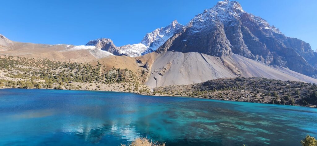
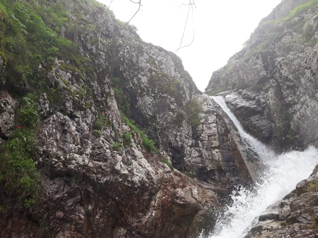
Lake Sarez begins quietly, with stillness. Its turquoise surface stretches across the narrow Bartang Valley in eastern Tajikistan, framed by steep slopes that rise like walls. The lake is beautiful, almost unnaturally so. But beneath that calm lies a story of sudden catastrophe, geological upheaval, and an uncertain future. Sarez is a lake born in disaster and living in suspense.
In 1911, a massive earthquake shook the Pamirs, sending millions of cubic meters of rock crashing into the Bartang River. The slide created the Usoi Dam, a natural wall more than 500 meters high- the tallest of its kind in the world. Behind it, water began to accumulate, slowly filling the valley and forming what would become Lake Sarez. In a few weeks, a river was transformed into a lake stretching more than 55 kilometers, containing an estimated 17 cubic kilometers of water (Schuster & Alford, 2004). What had been a sparsely populated mountain valley was now flooded beneath hundreds of meters of water. The earthquake’s epicenter was remote, but its consequences reshaped the landscape permanently.
The lake’s creation was sudden, but its presence has lasted more than a century. In the early decades, access to the site was extremely limited. Soviet scientists first visited in the 1930s, traversing treacherous paths to study the dam’s structure. Their reports described steep, unstable slopes and the monumental size of the landslide mass. By the 1960s, systematic monitoring began, revealing the fragile balance between dam stability, lake level, and seismic activity. The Usoi Dam is not engineered; it is a chaotic pile of rock debris. Its stability depends on geological chance and hydrological equilibrium, not on human design.
Lake Sarez is a landscape suspended between past catastrophe and potential future disaster. It is both a natural reservoir and a latent hazard, a geographic anomaly shaped by seismic forces and held together by chance.
For the villages downstream, this is not a theoretical concern. If the dam were to fail suddenly- say, through a large earthquake, a massive landslide into the lake, or internal erosion, the resulting flood could surge down the Bartang and Panj rivers, reaching communities in Tajikistan and Afghanistan within hours. Early Soviet hydrologists calculated that such an outburst flood might affect hundreds of kilometers of river valleys, threatening tens of thousands of people (Ischuk et al., 2002). Modern modeling, using satellite data and digital elevation models, paints similar pictures. The risk is low-probability but extremely high-consequence.
Local people have long lived with this knowledge. A villager from Nisur recalled, “The lake sleeps, but we keep one ear open.” The phrase has entered everyday speech. Children grow up hearing stories of the night the mountain fell, how their ancestors fled, how the water rose. People point to high ridges and say, “That is where the old path was, before the lake came.” Geography here is living memory.
The lake is also a study in isolation. It sits at over 3,000 meters above sea level, surrounded by steep, seismically active mountains. Until recently, there were no permanent monitoring stations or reliable communication links. Seasonal expeditions by scientists brought back data but could not provide continuous observation. In the late 1990s and early 2000s, international organizations began to treat Lake Sarez as a transboundary hazard issue, recognizing that an outburst flood would not respect political borders. Monitoring equipment and early warning systems were installed under UNDP-supported programs, linking remote sensors to communication hubs downstream (UNDP, 2004). For the first time, local communities were tied into a regional hazard network.
Yet uncertainty remains. The Usoi Dam has held for more than a century, surviving numerous earthquakes, snowmelt surges, and internal seepage. Some geologists argue that the dam has reached a quasi-stable state; others caution that its internal structure remains poorly understood and that its stability is not guaranteed. Unlike engineered dams, where risk is managed through inspections and controlled spillways, the Usoi Dam is a product of randomness. Its seepage channels and structural voids are difficult to model precisely. Scientists studying it compare it to a “black box” of rock and water (Schuster & Alford, 2004).
Lake Sarez also influences its immediate environment in subtler ways. The large water body affects local microclimates, moderating temperature extremes along its length. Moisture from the lake supports narrow belts of vegetation along the shore, contrasting sharply with the arid slopes above. Seasonal lake-level fluctuations alter the groundwater table in adjacent slopes, triggering small slides and influencing plant growth. These are small-scale but persistent landscape effects, part of the way a sudden geological event reshapes not only topography but ecological niches.
Downstream, the knowledge of living below a sleeping giant influences settlement and planning decisions. Houses are often built on slightly elevated terraces; evacuation paths are kept in memory. In recent years, training exercises have introduced residents to siren systems and radio communication protocols. A teacher in Basid explained, “The drills make the children less afraid. They learn what to do. But the fear never really goes.” Living beneath Lake Sarez is a form of coexistence with an unpredictable landscape.
The story of Lake Sarez is one of suspended risk: a hazard that is neither imminent nor gone, a landscape event whose consequences stretch across generations. It is also a reminder that geography can hold time in unexpected ways. The earthquake of 1911 created a problem for the present day.
Scientists continue to debate the lake’s future. Some propose controlled drainage through tunnels or siphons, reducing water pressure on the dam. Others argue that intervention might destabilize the dam’s fragile equilibrium. Political will and funding remain challenges. In the meantime, monitoring continues, communities stay alert, and the lake persists, quiet and immense, in the heart of the Pamirs.
At dusk, the lake’s surface turns reflective, mirroring the mountains in reverse. The silence is almost complete, broken only by occasional rockfall echoes from distant slopes. Standing at its shore, it is easy to forget that this place was once a valley with a river and villages. It is equally easy to imagine what might happen if the dam were ever to give way. The landscape holds both memories at once.
References
- Ischuk, A., Bogdanovich, V., Meleshko, A., & Nikonov, R. (2002). Natural damming and catastrophic floods in Central Asia: the case of Lake Sarez. Natural Hazards and Earth System Sciences, 2(3-4), 239–247.
- Schuster, R. L., & Alford, D. (2004). Usoi landslide dam and Lake Sarez, Pamir Mountains, Tajikistan. Environmental & Engineering Geoscience, 10(2), 151–168.
- UNDP. (2004). Lake Sarez Risk Mitigation Project: Project Document. United Nations Development Programme, Dushanbe.


