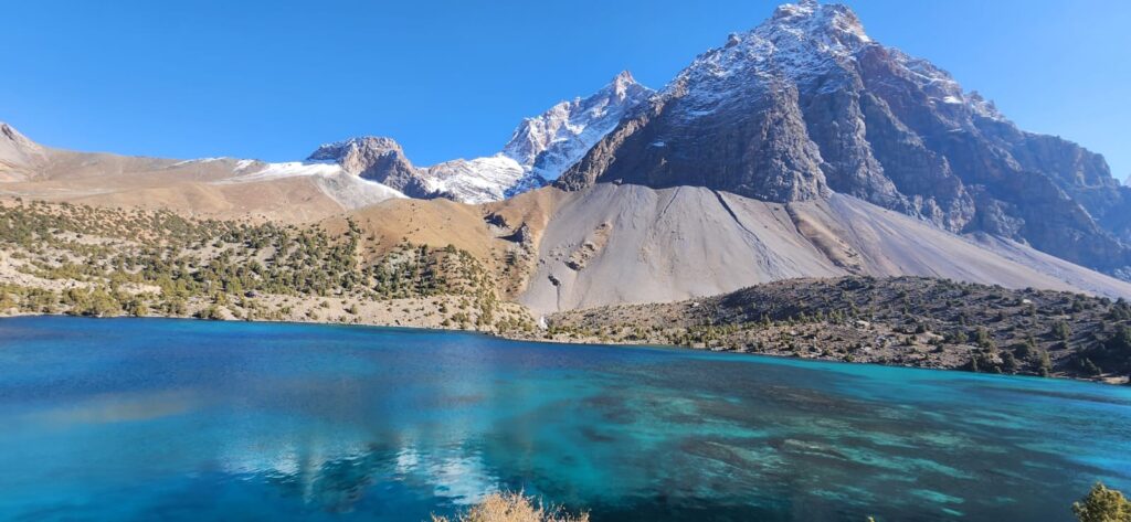
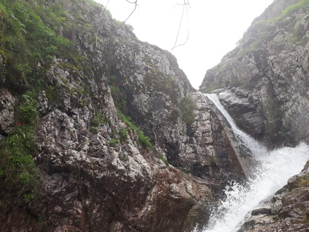
The Vakhsh River carves a path through mountains, its waters tumbling fast and brown, carrying silt from high Pamir glaciers. Along this river, concrete walls rise, transforming torrents into reservoirs, valleys into lakes. Nurek and Roghun are more than dams: they are landscapes of control, reshaping hydrology, sediment, and even the atmosphere above. To stand on their banks is to see geography engineered.
Nurek, completed in 1980, remains one of the tallest earth-fill dams in the world at 300 meters. Behind it stretches a reservoir over 70 kilometers long, a body of water that did not exist a half century ago. Roghun, still under construction, promises to be taller still, projecting a height of 335 meters. These are not merely structures but new geographies, where mountains were cut, valleys submerged, rivers regulated into flows planned on paper.
Hydropower dams like Nurek and Roghun are monuments to the idea that rivers can be tamed. They are architectures of control, turning seasonal floods into predictable currents, turning wild valleys into measured depths. Yet in this transformation, they redraw geography itself: soil becomes sediment trapped in reservoirs, currents become still waters, villages become submerged memories.
Walking along Nurek reservoir, the landscape feels like an inland sea. Waves lap against steep banks of clay and shale. Fishermen cast lines from boats, their nets catching carp and pike introduced after the reservoir’s creation. Children swim in summer, though currents remain dangerous near inlets. Above, slopes are prone to landslides, as water saturates soils that once stayed dry. The geography is unstable, shifting under new weight.
Hydrologists note that Nurek traps most of the Vakhsh’s sediment. The river once carried millions of tons downstream each year, replenishing soils and building natural levees. Now sediment settles in the reservoir, gradually reducing storage capacity (Avakyan & Iakovleva, 1998). Downstream, water runs clearer but carries less silt to fields. Farmers near Kumsangir remark that their soils require more fertilizer, as natural enrichment declines. The geography of fertility shifts with the dam.
Roghun, rising upstream, repeats this pattern on an even larger scale. Its projected reservoir will stretch over 100 kilometers, flooding villages and terraces. Hydropower planners map kilowatts, but geographers map changes in slope stability, microclimate, sediment flows. Reservoirs alter humidity, temperature, even local wind. In narrow valleys, evaporation forms mists, creating new atmospheric geographies.
A villager displaced by Roghun reflects, “Our orchards are gone. They lie under water now. But the lake is also beautiful.” His words capture ambivalence: loss and awe in the same breath. Reservoirs generate new landscapes that people learn to inhabit, even as they mourn submerged pasts.
Ecologists observe shifts in species composition. Reservoir waters replace riparian habitats, tugai thickets vanish under depth, while fish populations change with stocking. Migratory birds adapt, some using the lake as resting site. But terrestrial corridors fracture. Animals accustomed to valley forests face barriers. The reservoir is both habitat and void.
Downstream, hydropower reshapes time. Seasonal floods once arrived predictably, carrying silt, recharging wetlands. Now flows are regulated to match electricity demand. Water is released in winter for energy, reduced in summer when crops need it most (Micklin, 2000). The river’s rhythm bends to turbines, altering floodplain ecology. Geography is temporal as well as spatial: rivers out of sync with land.
Engineers see order in regulation, but rangers in tugai forests see stress. A forester near Tigrovaya Balka explains, “The floods no longer come as before. Trees dry, reeds shrink. We watch the forest weaken.” His statement reveals ecological geography in decline, tied to flows controlled kilometers upstream.
The dams themselves sit in seismic zones. Tajikistan’s mountains are among the most earthquake-prone in Central Asia. Scientists warn that tall earth-fill dams like Roghun face heightened risks from seismic shocks (Khairullaev, 2001). Reservoir-induced seismicity is also possible: the weight of impounded water alters stress along faults. Geography here is precarious, a balance between engineering and tectonics.
Still, for many Tajiks, the reservoirs are sources of pride. They symbolize capacity to harness rivers, to transform geography for human need. Fishermen, boat operators, even tourists find new livelihoods on reservoir shores. In Nurek town, cafes overlook blue water, selling fried fish and tea. The reservoir has become landscape of leisure as well as labor.
Sediment, however, remains silent threat. As it accumulates, storage declines. By the late 1990s, studies suggested Nurek had already lost nearly 20% of its capacity to siltation (Avakyan & Iakovleva, 1998). Without dredging or sediment bypass, reservoirs slowly choke on the rivers they capture. Maps of reservoir depth show uneven infilling, deltas advancing into open water. Geography remakes itself under still surface.
For geographers, dams pose questions of scale. A wall in one valley alters soils downstream, habitats across floodplains, even glaciers upstream through climate feedbacks. Nurek and Roghun show how geography connects: mountain snowmelt, turbine halls, cotton fields, and wetlands all linked by the river’s flow. To study them is to see geography as system.
At sunset, the surface of Nurek reservoir glows orange. Hills reflect in stillness, broken by ripples from a fishing boat. It is easy to forget that this lake is not natural but engineered, that its depth covers villages, fields, cemeteries. Geography here is layered: visible water, invisible memory.
Hydropower dams reveal both human ambition and nature’s persistence. They hold rivers, yet erosion continues, landslides fall, earthquakes threaten. They generate power, yet sediment accumulates. They create lakes, yet evaporation steals water. Control is never complete. Geography asserts itself even in reservoirs meant to master it.
References
- Avakyan, A. B., & Iakovleva, V. B. (1998). Hydropower development in the 20th century: An environmental review. Water Resources Development, 14(3), 377–395.
- Khairullaev, I. (2001). Seismic risks and hydropower structures in Central Asia. Geological Journal of Asian Earth Sciences, 19, 645–652.
- Micklin, P. (2000). Managing water in Central Asia. Central Asian Survey, 19(2), 329–357.


