The ground never quite sleeps in the Pamirs. Beneath the high ridges and folded valleys, plates press, faults slip, and tremors ripple through villages clinging to slopes. Earthquakes here are not abstract- they are geography in motion, lived in daily cracks, remembered in walls that lean, in stories passed down after each shaking night. To live in the Pamirs is to live with the mountain moving under you.
Walking into Rushan after a light tremor, villagers gather in the square, voices comparing how long the shaking lasted. One man laughs: “It is like the mountain coughing.” The laughter does not erase risk; it is a way of managing fear. They know the cough can become a roar. In 1911, an earthquake blocked the Murghab River, creating Sarez Lake, which is a massive landslide dam that still haunts hazard maps today (Nikonov, 1996). People in the valley say the lake is “the sleeping giant.” It was born from one quake; another could wake it.
The Pamirs sit where the Indian and Eurasian plates collide, a tectonic knot that produces both the world’s highest peaks and deep seismic energy. Studies note dozens of active faults across Gorno-Badakhshan, many poorly mapped, some extending beneath inhabited valleys (Trifonov, 1978; Burtman & Molnar, 1993). When one slips, the energy travels through rock and soil, amplifying in loose sediments, rattling houses built of stone, mud, and timber.
Earthquakes here are not single events but a way of life, a rhythm woven into the landscape. Each tremor, each crack, each shifted boulder is part of a story that ties human settlement to tectonic restlessness. The Pamirs do not offer stable ground; they offer ground that is always negotiating its own shape.
Villages adapt in their own ways. Some build lighter roofs to reduce collapse risk. Others orient houses along slopes they believe safer. Elders tell children never to sleep under heavy beams. In Khorog, new concrete structures rise, but many lack reinforcement, leaving them brittle in strong shaking. Engineers warn that retrofitting is limited by cost, and many public buildings remain at risk (UNISDR, 2015).
The memory of past quakes shapes daily choices. In Bartang Valley, elders recall the 1949 Khait earthquake that killed tens of thousands when a massive landslide buried villages. They point to the scar on a ridge: a reminder etched in stone. “The mountain remembers,” they say. Younger generations grow up with this inherited geography: always knowing the ground may betray them.
Scientists monitor with seismographs in Dushanbe and Khorog, recording tremors daily. Most are small, imperceptible. But maps of hazard zones show red swaths across Rasht, GBAO, and the Vakhsh valley. Soviet geologists called these areas “the most seismically active in Central Asia” (Ulomov, 1974). For Tajikistan, which has suffered more than 50 destructive earthquakes in a century, this is not theory.
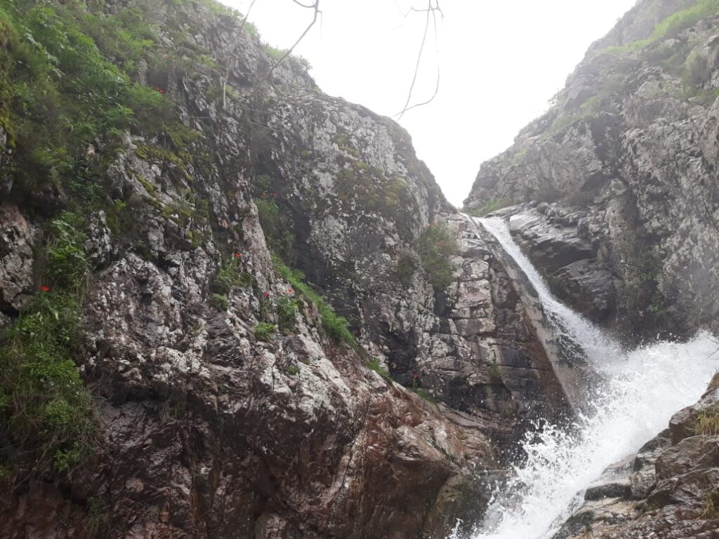
Beyond shaking, secondary hazards multiply. Landslides often follow quakes, blocking rivers, cutting roads, damaging fields. The Pamirs’ steep relief makes slope failures common. A moderate quake can destabilize an entire hillside, setting it up for collapse during the next storm. In Murghab, shepherds sometimes report hearing rocks fall long after the tremor ended, the landscape still adjusting.
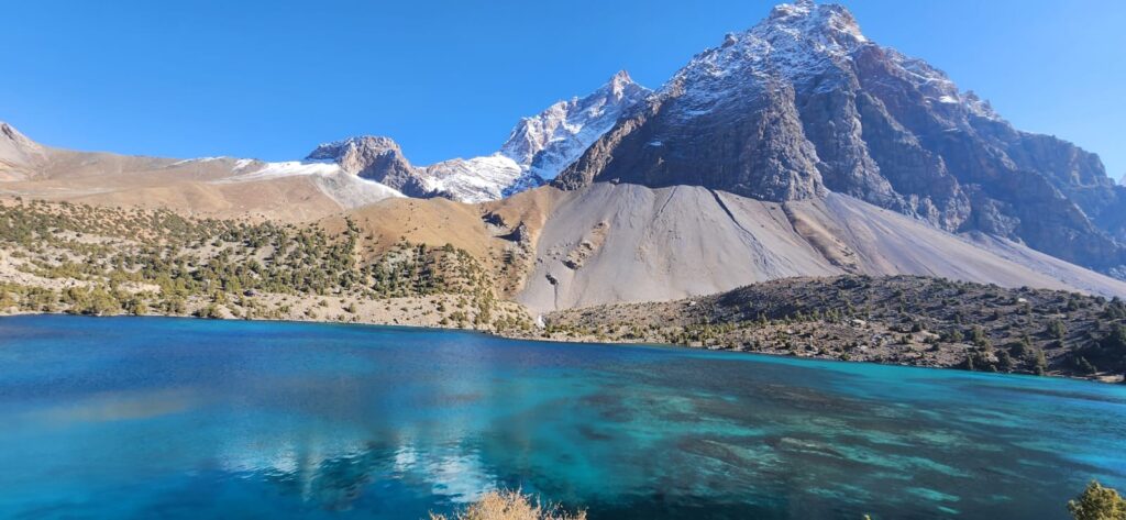
At Sarez Lake, the concern is global. If the Usoi Dam (which was formed by the 1911 quake) fails then a flood could sweep down the Bartang and Panj valleys, threatening thousands in Tajikistan and Afghanistan. Engineers installed monitoring, early-warning systems, and training programs. But locals still call it “the lake that waits.” Each tremor brings whispers: will the dam hold?
In the capital, far from the Pamirs, earthquakes still resonate. Dushanbe experienced damaging quakes in 1907 and 1989, both reminders that seismic risk spans the country. New buildings rise, but informal construction often skips seismic codes. Engineers warn that vulnerability grows with urban density (UNISDR, 2015). Geography translates into risk through construction, planning, and neglect.
Children in schools practice drills: hiding under desks, walking out in lines. Some take it lightly, others remember stories and feel real fear. One boy says, “The earth is like an angry bull. It shakes us to remember we are small.” Such metaphors carry power: they translate geology into lived experience.
Walking in the Pamirs after an earthquake is a lesson in fragility. Paths are blocked, walls cracked, irrigation disrupted. People rebuild quickly with stones stacked, beams replaced, however they know the next tremor is inevitable. The mountains teach resilience, but also humility.
The Pamirs are young mountains, still rising, still folding. The land is restless because the plates beneath continue their collision. To live here is to inhabit that collision, to measure time not only by seasons but by shakes. Earthquakes are teachers, destroyers, reminders. They write their lessons on stone and soil, in houses and in memory.
References
- Burtman, V. S., & Molnar, P. (1993). Geological and geophysical evidence for deep subduction of continental crust beneath the Pamir. Geological Society of America Special Paper 281.
- Nikonov, A. A. (1996). The Sarez Lake problem: earthquake-induced landslide dam hazard. Natural Hazards, 13(1), 25–38.
- Trifonov, V. G. (1978). Late Quaternary tectonic movements in Asia and seismic hazard. Geotectonics.
- Ulomov, V. I. (1974). Seismic zoning of Central Asia. Soviet Geology Reports.
- UNISDR. (2015). Disaster Risk Reduction in Central Asia and the Caucasus. Geneva: United Nations Office for Disaster Risk Reduction.
