The Vakhsh flows swift and muddy through its gorges, carrying soil from slopes high above into its depths: a river of dust, rock, and memory. From the ridges of the Pamirs down toward the lowland plains, erosion is never distant; it breathes in every valley, slips through every side stream, and tests every patch of vegetation. To travel along the Vakhsh is to see how the mountains erode, how agriculture fights, and how land vanishes grain by grain into river channels.
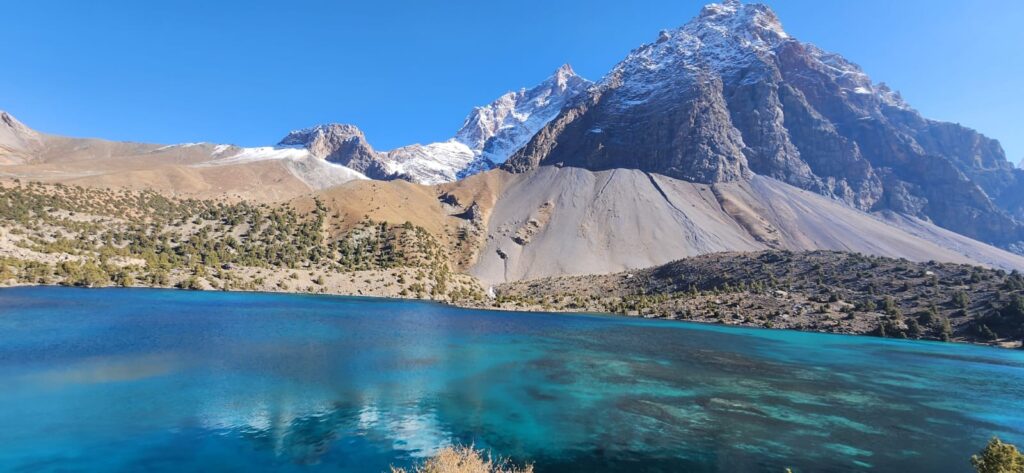
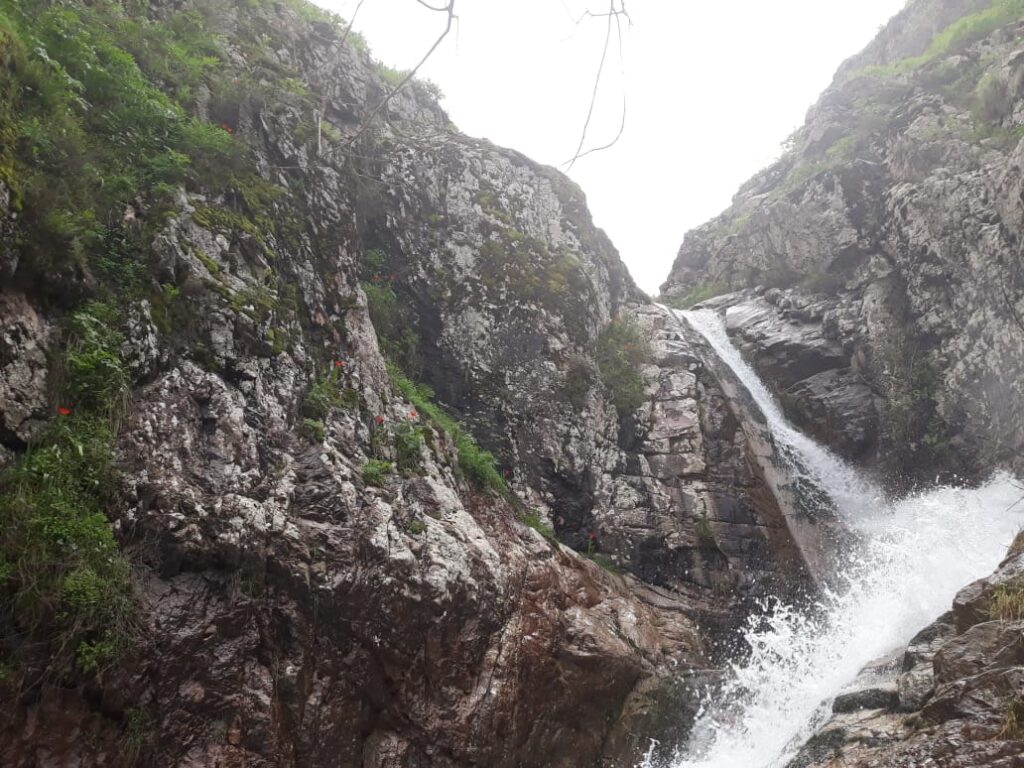
In the upper basin, steep slopes tower over narrow tributaries. Rockfall sprays the walls in fragments. In mid-slopes, glacial moraines collapse, feeding sediments into creeks. In lower reaches, gullies in loess soils deepen, connecting into the river network like fingers of dirt. Scientists studying the basin describe mass wasting: landslides, debris flows and bank collapse as the main drivers of sediment flux, overshadowing gentle overland wash except where human disturbance has stripped cover (Sidle et al., 2023).
When farmers inspect their plots in Khatlon, they see cut banks next to canals, cracks forming on hillsides, and terraces sagging. In one village a woman places a hand on a narrow ridge, murmuring, “The earth gives until it gives way.” It is not metaphor; each year, bits of her land slip down unseen paths, into gullies, then into the river. The geography is patient but persistent.
Erosion is not a single event but a slow geography of loss. Soil moves in grains, in dust in storms, in pebbles during floods, in landslide slumps at night. The valley accumulates this loss, sink after sink, until the land feels lighter, thinner, more vulnerable. In the Vakhsh the river carries not just water but the ghosts of fields, of terraces, of human toil, all washed downstream by gravity and time.
The Vakhsh basin spans tens of thousands of square kilometers, with high peaks above 7,000 meters and valley floors descending below a few hundred meters. Its lithology is complex- flysch, sandstone, shale, carbonate, glacial sediments are all prone to different erosion behaviors (Sidle et al., 2023). Loess deposits near the lower reaches are especially vulnerable: fine, wind-blown soils with weak cohesion that gullies easily cut through. Many gullies exceed 100 meters in depth, directly feeding tributaries (Sidle et al., 2023).
These gully networks mirror human disturbance. Where roads cut slopes, water runs off impermeably, carving new channels. Where agriculture plows close to edges, soil is exposed to splash and diffuse runoff. In Soviet times, large irrigation projects reshaped slopes, sometimes aggravating erosion. In one mid-valley field, the farmer points at a furrow: over time the adjacent bank has retreated three meters. He says, “We lost that strip last season. I planted too close.”
Downstream, the river swells with sediment during snowmelt and storms. Nurek reservoir receives much of this load. Every drawdown, the exposed banks collapse. Turbines grind grit. Dam operators know that sediment reduces storage and efficiency. The Golovnaya Dam’s reservoir, designed for 96 million cubic meters, is filled largely with silt now.
Cultural landscapes suffer too. A few kilometers from the channel, burial mounds and old tombs on terraces erode away as bank migration devours edges. In studies of bank erosion, researchers document how a youthful tributary of the Vakhsh is gradually destroying archaeological mounds along its banks, swallowing heritage as soil shifts (Nebbia et al., 2021).
Erosion’s pace is uneven, a patchwork. Some slopes hold shrubs and grasses that slow flow and bind soil. Others are bare, overgrazed, cut by gullies- are ratchets of loss. Seasonal rainfall intensities matter: stronger storms flush more soil. In lower reaches, tributary connection (i.e. how easily a gully or slope feeds directly into the river) amplifies the impact. If a gully links cleanly to the channel, its load transfers unimpeded. If blocked by forest or terrain, much soil deposits before reaching water.
The Vakhsh is not static. Channel migration shifts course. The river erodes laterally, undercutting banks, then leaps. New bends form, old ones abandon. The river writes its own map of loss across the valley. Farmers who expect their canal to reach ten years from here may find it cut off. Bridges must move, roads realign, fields rotate away from banks.
Climate shifts intensify the trends. Snowmelt patterns change; rainfall becomes more intense and irregular. In models of Central Asia’s basins, future projections show greater variability in flows and more extreme runoff in spring (FutureWater, 2024). Less buffer in glacial melt means the river may peak earlier and leave lower flows later, so the end-of-season erosion window expands. Roads and fields used to have a margin; now that margin narrows.
Efforts to stem erosion take many forms. Green infrastructure, such as planting vegetation, stabilizing gullies, building check dams they are part of a World Bank–sponsored landscape restoration project in the Vakhsh. Their models show that targeted interventions upstream can reduce sediment flux downstream by tens of percent (World Bank case study). Villagers adopt terracing, grass strips, contour plowing, stone bunds. Some avoid field edges. Where possible, tree planting helps anchor loose soil.
In one village near Rogun, elders lead a slope rehab day. People carry saplings in buckets, plant along a degrading gully edge, drive stakes to break surface run. A teenager says, “We fight the land.” But for them, the fight is physical: spades in earth, roots binding slope, soil saved drop by drop.
Walking along a dry gully into the hills, one sees layers of sediment, cross-cut channels, old slides baked by sun. The land holds its wounds. Looking down the valley, every bend in the river bears the weight of all upstream losses. The Vakhsh is geography in motion, speaking through dust and runoff, in edges that retreat and channels that shift.
To live on the Vakhsh is to live with loss, but also with response. Soil can’t be reclaimed easily once gone, but its disappearance need not be forgotten or ignored. In each terrace saved, each gully blocked, each bank planted, a story of survival is written. The valley remembers both what is lost and what is defended.
References
- Nebbia, M., et al. (2021). Bank erosion along a youthful tributary of the Vakhsh: implications for cultural heritage and sediment dynamics. Journal of Cultural Heritage Studies.
- Sidle, R. C., Caiserman, A., Jarihani, B., Khojazoda, Z., Kulikov, M., & Qadamov, A. (2023). Sediment sources, erosion processes, and interactions with climate dynamics in the Vakhsh River Basin, Tajikistan. Water, 16(1) (open access).
- World Bank. (2023). Valuing Green Infrastructure: A Case Study of the Vakhsh River Basin, Tajikistan.
- Nebbia, M., et al. (2021). Spatial risk assessment and protection of cultural landscapes along Vakhsh banks.
